


Maxar Partner for Australia & New Zealand
Leading provider of Satellite Imagery & Precision 3D Data solutions.
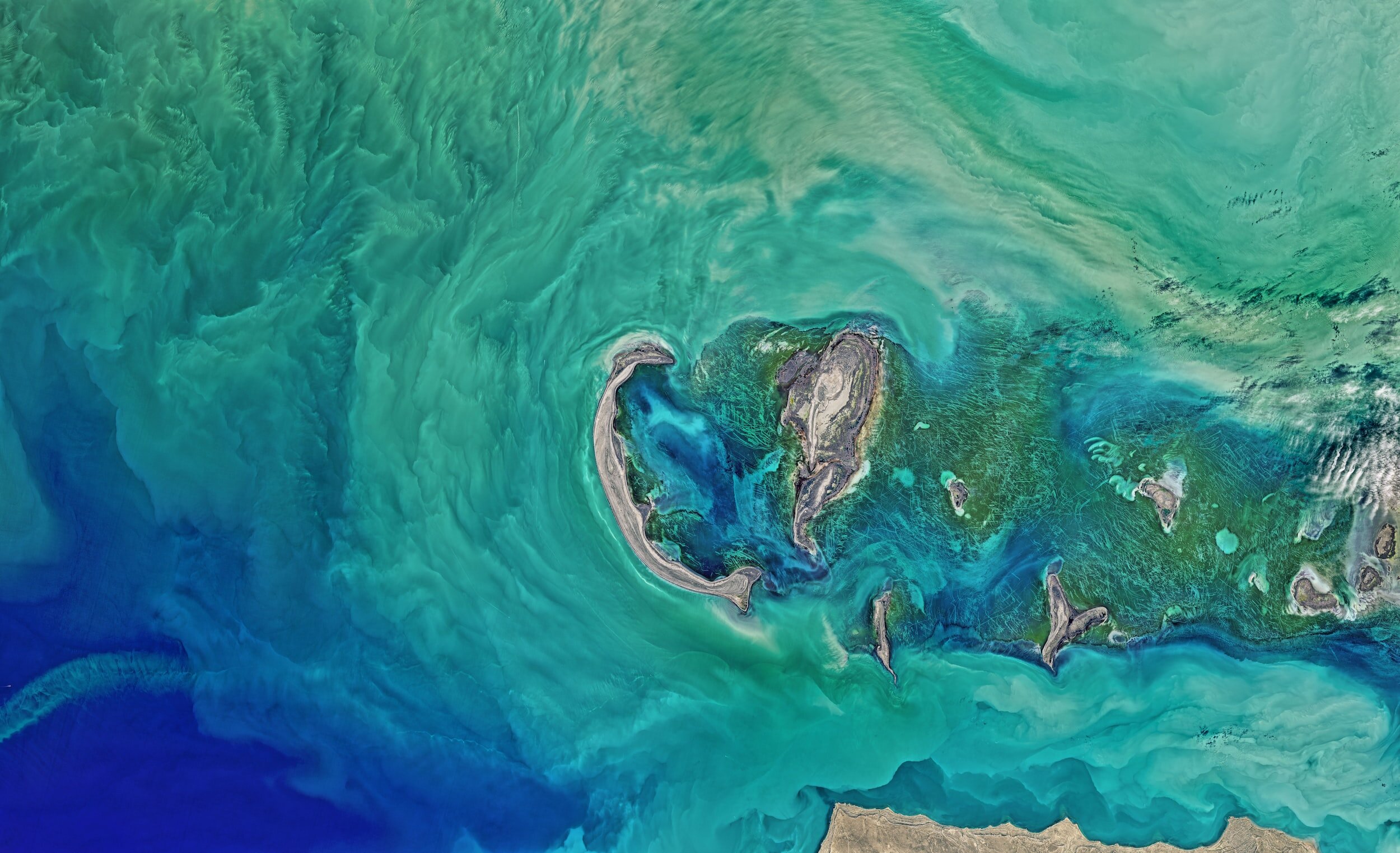
Highest quality satellite imagery, basemaps and 3D data over any location on Earth.
At The Spatial Distillery Co., we provide cutting-edge satellite imagery solutions to meet your diverse geospatial needs.
High-Resolution Satellite Imagery
Access the vast library of high-resolution satellite imagery captured by Maxar’s advanced imaging satellites. Whether you require imagery for mapping, monitoring, or analysis purposes, we provide the data you need to gain valuable insights.

Custom Imagery Collection & Satellite Tasking
If you have specific requirements or a unique area of interest, our team can work with you to plan and acquire custom satellite imagery. We leverage Maxar’s constellation of satellites and agile tasking capabilities to capture imagery tailored to your precise needs.

On-Demand Imagery & Earth Intelligence
MGP Pro, from Maxar, is the premier, cloud-based subscription platform for secure and timely access to Earth Intelligence. With a broad range of imagery and geospatial data products, MGP Pro provides unrivaled coverage, quality and flexibility.
MGP Pro subscribers can access over 3 million square kilometers of daily image collections, plus more than 6 billion square kilometers of archived imagery at up to 30 cm resolution.

“We are data distillers turning raw data into elegant location intelligence solutions.”
The Spatial Distillery Co.