

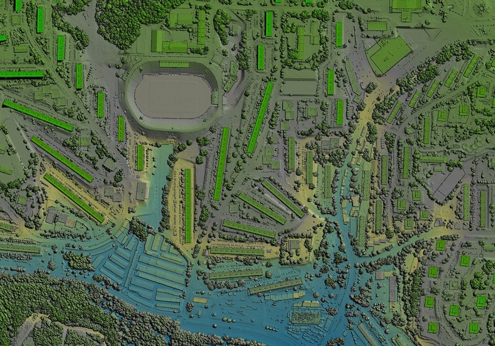
What is GIS? (Geographic Information Systems)
GIS (geographic information systems) are software technologies that assist in the storage, retrieval, analysis, and distribution of geographic data. This can include everything from satellite imagery to demographic databases to topographical maps. GIS is an enormously powerful tool for organisations that deal with high-volume spatial data, like real estate developers, insurance companies, telecommunication companies, or the government. GIS is helping map out the future of how we understand our world by better understanding the relationship between people, places, and things.
With Spatial Distillery you get the best Geographic information System GIS in Australia New Zealand.
Where is GIS used?
GIS can be used for many purposes. It can be used for tracking population, economic development, and natural hazards. GIS can also be used for retail site selection, insurance mapping and telecommunications. GIS and digital mapping is used daily as part of web mapping apps, finding your favourite store or locating where your friends are in your favourite social media app.
-
GIS can be used to provide a visual interpretation of data. Google Maps is an excellent example of a web-based GIS mapping solution.
-
Telecom companies use GIS to better plan, design, and manage their Telecom networks. 5G rollouts rely heavily on the use of GIS to maximise the coverage and pinpoint where networks are needed.
-
GIS helps to model and analyse crime data and better plan the deployment of resources.
-
Governments use GIS for urban growth planning and allocation of resources. GIS is used across all levels of government in health, emergencies, urban planning, and smart cities.
-
GIS data is commonly used for managing transportation. With the addition of environmental and real-time data in a GIS platform routes can be optimised and last-mile deliveries streamlined.


